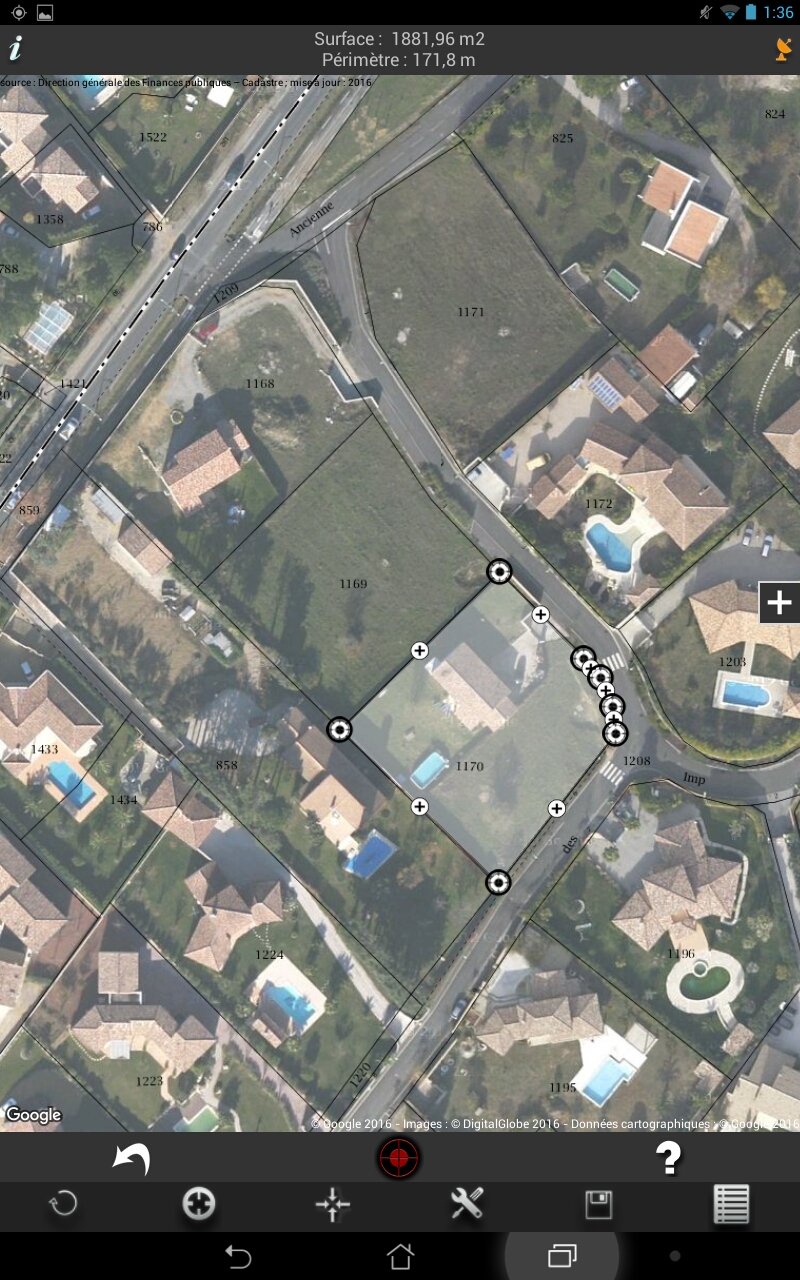
Since version 4.0, the application displays a layer of French cadastral map overlaid on the map. You can either display only the parcel boundaries or the entire cadastral information available (BUILDINGS, AMORCES_CAD, HYDRO, BORNE_REPERE, DETAIL_TOPO, LIEUDIT, VOIE_COMMUNICATION).
A gray layer can be added so as to adjust the transparency of the cadastral layer.
This improvement is very useful in surveyors and greatly improves the accuracy of the registered parcel of land measures.
Disclaimer:
Web-Dream is not responsible for the accuracy of the French cadastral information in this application (source cadastre.gouv.fr). In no case, these data can be used for commercial purposes. They are provided here for reference only.
Android release


IOS release Read More